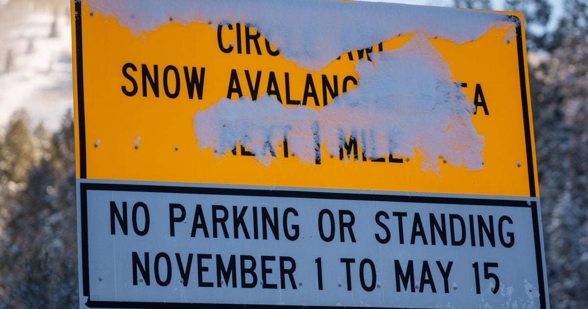
A New Year’s Day snowstorm may not look that bad from Utah’s valley floors, but it’s wreaking havoc in the mountains.
In the past 24 hours, Brighton and Sundance received almost 2 feet of snow, Solitude got 18 inches, Deer Valley got 17 inches, and Alta and Snowbird both got 16 inches, according to Ski Utah.
The Utah Department of Transportation announced that Little Cottonwood Canyon will be closed all day Sunday while road and avalanche crews work. At the moment, there’s no estimated opening time.
John Gleason, the spokesperson for UDOT, told The Salt Lake Tribune that avalanche mitigation in Little Cottonwood is “going great” as crews deal with “thick and heavy snow.”
“It’s a great thing because we need all that snow, but it’s also caused us to close down the canyon to do this avalanche control work,” Gleason said. “We put safety first and we won’t open the canyon until we’re sure it’s a safe situation.”
Big Cottonwood Canyon is open, but UDOT tweeted that travelers should “be prepared for all road conditions” Sunday and expect delays in the evening. UDOT advised people to make sure they have proper traction on their vehicles, remember winter driving skills, and have a full tank of gas.
Little Cottonwood’s backcountry is closed through Monday at 8 a.m., but Gleason urged people to avoid all backcountry areas at the moment as “conditions are just not safe.”
Avalanche danger is high across much of the state, according to the Utah Avalanche Center.
The town of Alta has been under an “interlodge” order since 11 p.m. Saturday. The order means that residents and employees cannot leave the building that they’re currently in due to avalanche danger. Further details about how long the order would last were unavailable Sunday morning.
Why is so much snow falling?
Utah is currently beneath an “atmospheric river,” said Monica Traphagan, senior meteorologist with the National Weather Service.
“We’re tapping into a strong tropical moisture coming from the Pacific and that’s streaming eastward into us,” she said.
While a lot of Utah’s storms typically come from the Pacific Northwest or farther north, this one is coming straight from the Pacific, bringing in warmer air, Traphagan said.
She referred to this long-lasting snowstorm as “climatologically unprecedented.”
How long will the storm last?
Much of Utah is under winter storm warnings and winter weather advisories in effect through Monday, according to the National Weather Service.
Heavy snow is expected to continue in the mountains through Sunday night and taper off Monday morning. The state’s northern mountains could continue to see snow through Monday afternoon, though, the weather service says.
All of Utah’s mountains could receive between 1 and 3 feet of snow, but 4 feet could fall in the Uintas, and the upper Cottonwood canyons could get a whopping 5 feet, the weather service says.
In the Salt Lake Valley, an accumulation of 1 to 3 inches of new snow is possible on New Year’s Day and Sunday night. On Monday, the snow will taper off around 11 a.m. The area will have a slight break Monday night before more snow blows in on Tuesday.
The weather service said the snow coming from this storm is particularly heavy and wet and advised people to be careful while shoveling.
The St. George area will see a rainy New Year’s Day before snow starts to fall Monday night and into Tuesday. There’s a 30% chance of rain on Wednesday.
— This developing story will be updated.
The Link LonkJanuary 02, 2023 at 01:11AM
https://news.google.com/__i/rss/rd/articles/CBMiQ2h0dHBzOi8vd3d3LnNsdHJpYi5jb20vbmV3cy8yMDIzLzAxLzAxL3Nub3dzdG9ybS1zaHV0cy1kb3duLWxpdHRsZS_SAQA?oc=5
Snowstorm shuts down Little Cottonwood Canyon, traps Alta residents in their homes - Salt Lake Tribune
https://news.google.com/search?q=little&hl=en-US&gl=US&ceid=US:en

No comments:
Post a Comment